

Reporting window: August 24–31, 2026
Source review: August 31, 2026, morning Pacific time
Conditions, evacuation orders, watches, warnings, and official instructions can change quickly. Use this dated briefing for preparedness planning, then confirm current conditions with your local emergency-management agency and the National Weather Service before acting.
Executive assessment
This week’s useful preparedness signal is not one isolated disaster. It is the speed at which ordinary plans can be tested by changing weather, wildfire movement, transportation interruptions, power loss, and overloaded communications. NOAA’s August 31 outlook placed a moderate risk of excessive rainfall over parts of the Great Basin, highlighted additional heavy-rain threats along the western Gulf Coast, and described dangerous heat continuing across a broad part of the country later in the week. At the same time, recent wildfire evacuations near Reno showed how quickly a normal weekend can become a large movement problem.
The practical takeaway is calm and straightforward: keep your information current, know where you would go, and maintain enough water, power, medication, and communications redundancy to bridge the first interruption without improvising everything at once.
U.S. situation scan
1. Heavy rain and heat are creating different readiness problems across the country
On August 31, the NOAA Weather Prediction Center maintained a moderate risk of excessive rainfall over portions of Utah and described flash-flood potential across parts of the Southwest, Rockies, and adjacent Plains. Its short- and medium-range discussions also highlighted heavy-rain potential along the upper Texas coast and persistent late-summer heat from the Plains into parts of the Midwest, Mid-Atlantic, and Southeast.
Why it matters: Flood and heat plans often compete for the same resources. Closed roads can delay travel or deliveries. Heat can increase household power demand and make an outage more serious. A storm can also interrupt cellular service or make charging difficult at the exact moment people need local updates.
Preparedness lesson: Treat the forecast as a planning trigger, not a prediction for your exact address. Check your local forecast, identify low-water crossings and flood-prone routes, and make sure the household has a cooler backup location if power fails during extreme heat.
2. The Reno-area Hawk Fire demonstrated the value of staged evacuation readiness
A wind-driven wildfire near Reno prompted large evacuation orders and warnings during the August 22–24 period. Washoe County’s official August 24 update directed residents to continue following evacuation information and local instructions. The Associated Press reported on August 24 that the fire had burned more than 15,000 acres, destroyed at least 32 homes, and at one point placed tens of thousands of residents under evacuation orders or warnings.
Why it matters: Evacuation is not one decision. It is a sequence: receiving the warning, confirming the source, loading people and animals, choosing a route, maintaining fuel, and checking in with family. Delays at any one step can compound quickly.
Preparedness lesson: Use three readiness levels at home: ready now, ready to load, and ready to leave. Put medications, documents, chargers, water, pet supplies, and footwear where they can be moved in one trip. Keep the vehicle above half a tank when local fire conditions are elevated.
3. Pacific tropical systems are a reminder to watch indirect effects
NOAA’s National Hurricane Center was issuing advisories on Hurricane Karina in the eastern Pacific and Tropical Storm Lowell in the central Pacific on August 31. Neither headline alone tells a household what will happen locally. The useful lesson is that distant systems can still alter surf, rainfall, wind, and travel conditions, while forecast tracks continue to change.
Why it matters: People often wait for a storm to be forecast directly over them before checking supplies or travel plans. Indirect impacts can arrive earlier and outside the center line.
Preparedness lesson: If you live in or are traveling to Hawaii, coastal California, or the Southwest, check the latest local National Weather Service forecast and marine or surf notices. Build decisions around official local instructions, not social-media storm graphics.
Secondary world watch
Nepal flash flooding shows how infrastructure failures can isolate communities
On August 26, severe flash flooding struck northern Nepal, damaging homes, roads, bridges, hydropower facilities, and communications. United Nations OCHA’s ReliefWeb emergency page documented the August 26 flash flood and the resulting damage across the Bhote Koshi and Trishuli river corridors.
This is included for the preparedness lesson, not the spectacle. When roads, bridges, power generation, and phone service fail together, even well-equipped responders need time to reach people. The same principle applies at household scale in the United States: stored water, basic first aid, lighting, backup power, a paper contact plan, and a realistic shelter option reduce dependence during the first hours of a disruption.
Shared readiness pattern
Across these events, the shared pattern is compressed decision time. Weather may be forecast days ahead, but the specific road closure, evacuation notice, outage, or communications failure can still arrive suddenly. The strongest plan is one that converts information into simple actions before stress is high.
- Information: Know the official local sources you will check first.
- Movement: Maintain two routes and a destination outside the immediate hazard area.
- Continuity: Keep water, medication, lighting, charging, and basic food accessible.
- Communication: Give everyone the same out-of-area contact and meeting points.
- Pets and vehicles: Include carriers, leads, food, records, fuel, and a loading plan.
What to check this week
- Refresh local alerts. Confirm that emergency notifications are enabled for your home, workplace, and any destination you will visit this week.
- Review two routes. Identify one primary and one alternate route that avoid flood channels, low-water crossings, and known fire corridors.
- Test your power layer. Fully charge power banks and rechargeable lights. Confirm that the correct cables are packed with them.
- Stage critical items. Place prescriptions, identification copies, insurance information, keys, and pet supplies together.
- Check stored water. Verify quantity, container condition, treatment capability, and a portable carry option.
- Make one household call. Confirm who will pick up children or pets and which out-of-area person will receive check-ins if local networks are congested.
Related SRO Field Manual guides
- Stay Ready: How to Prepare for Sudden Wildfires
- Hurricane Preparedness Guide: Be Ready Before the Storm Hits
- A Practical Communications Redundancy Plan for Home, Trail, and Convoy
- Water Filtration, Purification, and Treatment
Direct sources
- NOAA Weather Prediction Center, forecast discussions and hazard outlooks, updated August 31, 2026.
- NOAA National Hurricane Center, eastern and central Pacific advisories, reviewed August 31, 2026.
- Washoe County Regional Emergency Operations Center, Hawk Fire daily update, August 24, 2026.
- Associated Press, Hawk Fire reporting, August 24, 2026.
- United Nations OCHA ReliefWeb, Nepal flash-flood emergency page, August 26, 2026.
- U.S. EPA AirNow, Fire and Smoke Map and wildfire air-quality guidance, reviewed August 31, 2026.
Related readiness categories
If this week’s checks reveal a real gap, start with the function, not the product: water treatment, shelter, communications, or navigation and signaling.
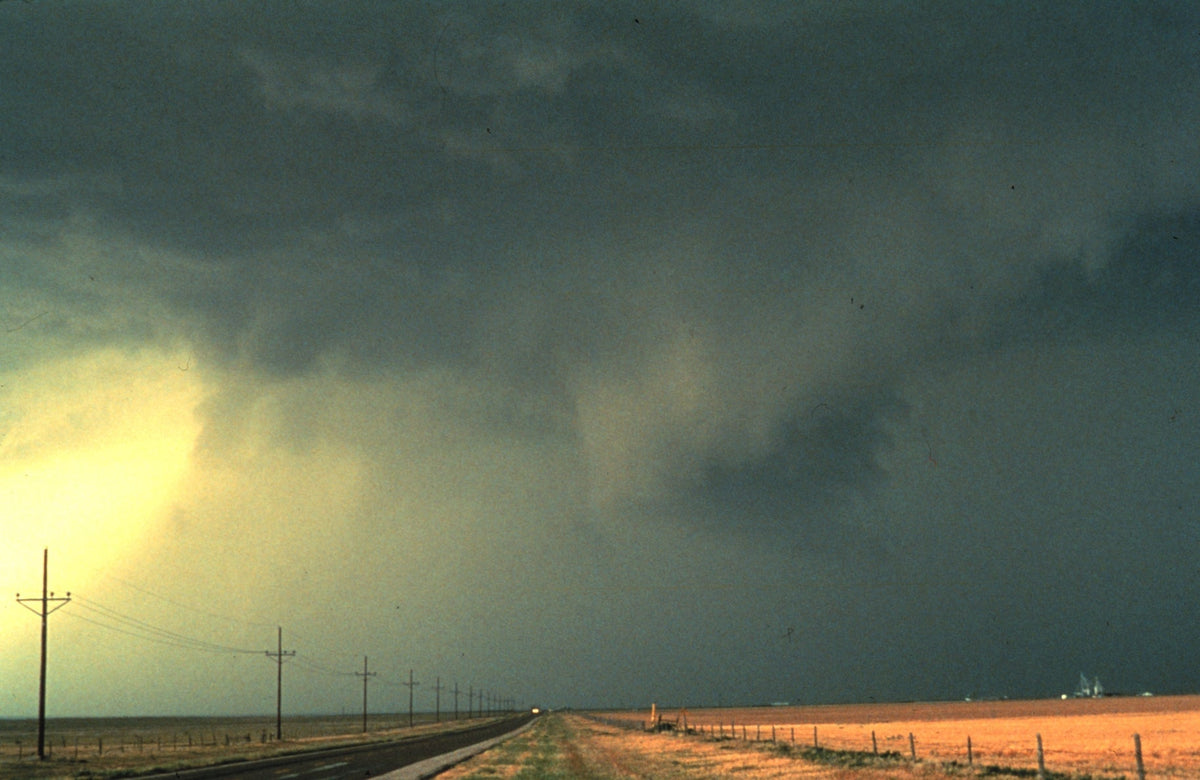
Image credit: NOAA Photo Library, NOAA Central Library; OAR/ERL/National Severe Storms Laboratory. Public domain U.S. government work. Source and rights information.
Stay Sharp. Stay Ready.


